
Allamuchy Mountain State Park: Check Your Trailhead First |
A route-planning guide for Mount Olive hikers, with current access advisories and a nearby alternative. |
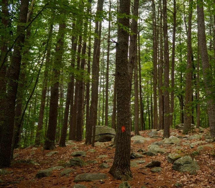
Allamuchy Mountain State Park is close enough for a spontaneous outing from Mount Olive, but picking a trailhead deserves a few minutes of planning.
As of November 6, the state’s park page lists Deer Park Road as closed to public use and Tilcon Lake as temporarily closed to all use.
Check the park page again on the day you go and follow posted restrictions.
A saved route or an older trip report may still point you to an access point you can’t use.
At a Glance
Choose the entrance before the trailThe state lists the gate hours as sunrise to sunset and no entrance fee.
Its general address is on Waterloo Road in Stanhope, but that doesn’t mean one address works for every trail.
Use the official area map to identify your trailhead, parking area and any restrictions, then share the exact starting point with anyone meeting you.
The state’s trail guide describes a three-mile stretch of the Sussex Branch Trail that begins on Waterloo Road and follows an old rail corridor toward Cranberry Lake.
Treat that as an option to check against current advisories, not a promise that every connection or parking area is available.
If you only want a short outing, pick an out-and-back turnaround time instead of committing to the full distance in both directions.
Keep a nearby alternativeStephens State Park is a separate state park with a day-use area by the Musconetcong River.
Its park page lists riverside picnic tables and trails, and the Trail Conference map marks parking and access points for both parks.
A picnic and a shorter walk at Stephens can work well if an Allamuchy route is unavailable or your group has less time than expected.
Check Stephens’ own advisories before switching.
If you’re comparing Morris County hiking trails, be careful with broad recommendations that give a mileage without saying where the walk starts.
The practical questions are how far you’ll actually go, where you can turn back, and whether your planned exit takes you to the same place you parked. |
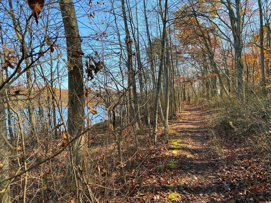 Illustrative photo, not taken at the featured location: Walking along the southeastern edge of Lake Mercer on 11/11/23. Photo by Cathy Poland on Unsplash. |
Give yourself an easy way backSave a map before leaving home.
Note the junctions you expect to pass and use the marked routes rather than an unofficial shortcut.
In November, give yourself a cushion before sunset, especially if you’re starting after lunch.
Bring water, appropriate footwear and a layer you can take on and off.
For a group with different experience levels, agree on a turnaround time before starting and choose an outing everyone can enjoy at the same pace.
Don’t depend on reaching a viewpoint or finishing a loop to make the trip worthwhile.
A walk that leaves time to get back comfortably is a good outing on its own.
If the advisory page and the signs at the park don’t settle a question about access, call the park office at 908-852-3790.
A few minutes checking the correct entrance is easier than arriving at a closure and making up a new route in the parking lot.
Plan your visitAllamuchy advisories and hours
Trail Conference’s Allamuchy area map
|
9 Comments
Join the conversation
Good reminder to share your exact starting point with whoever is meeting you. We had a whole group split between two different trailheads once because everyone assumed the same thing. Took forever to sort out.
Grace TamburoThis happened to us at Hacklebarney once. Half the group plugged in the park name and half followed a shared pin. We were like a mile apart. Now we always screenshot the exact parking lot and send it in the group chat before we leave.
Does anyone know if the Waterloo Road parking area has enough space on weekends? Last time I went it was pretty packed by 9am and had to drive around a bit before finding a spot.
mike_otpYeah weekends are rough there. I usually try to get there before 8 if we want a spot without the hassle. Holidays are even worse, once circled for 20 minutes and ended up parking down the road a bit and just walking in.
The part about old trip reports pointing you to closed access is so true. I relied on a AllTrails review from like two years ago and ended up at a locked gate. Always check the actual park page first.
I wish more people knew about Stephens State Park honestly. The Musconetcong River area is peaceful and the picnic tables right by the water are a nice bonus if your hiking plans fall through.
The Sussex Branch Trail along the old rail corridor is really flat and easy. Great if you have kids or just don't want anything too strenuous. Worth checking out once Deer Park Road opens back up.
Tilcon Lake being closed is frustrating, that spot was always my go-to for a quick after work walk. Good heads up though, I would have just driven over without checking.
That's exactly the scenario we wanted to help people avoid, nothing worse than showing up after a long workday only to find a closed gate. Hopefully the Tilcon Lake closure is temporary and your after-work routine can resume soon!